
The Pahalgam route runs for miles through narrow mountain ground with base camps, halts, and choke points. The deployed grid included 416 high-resolution cameras, 5 drone detachments, 28 elevated observation posts, and 22 specialist teams. Watched separately, those assets generate more feeds than any control room can follow; the requirement was one picture, and an alert that reaches the nearest officer in time to matter.
Deployment record · Anantnag Police · Shri Amarnath Ji Yatra 2026
Surveillance operations · Route security
Project Hawk Eye
Round-the-clock watch along the traditional Pahalgam route: 416 cameras, 5 drone detachments, 28 observation posts, and 22 specialist teams brought into one operating picture for Anantnag Police.
- High-resolution CCTV cameras
- 416
- Drone detachments
- 5
- Elevated observation posts
- 28
- Specialist teams
- 22
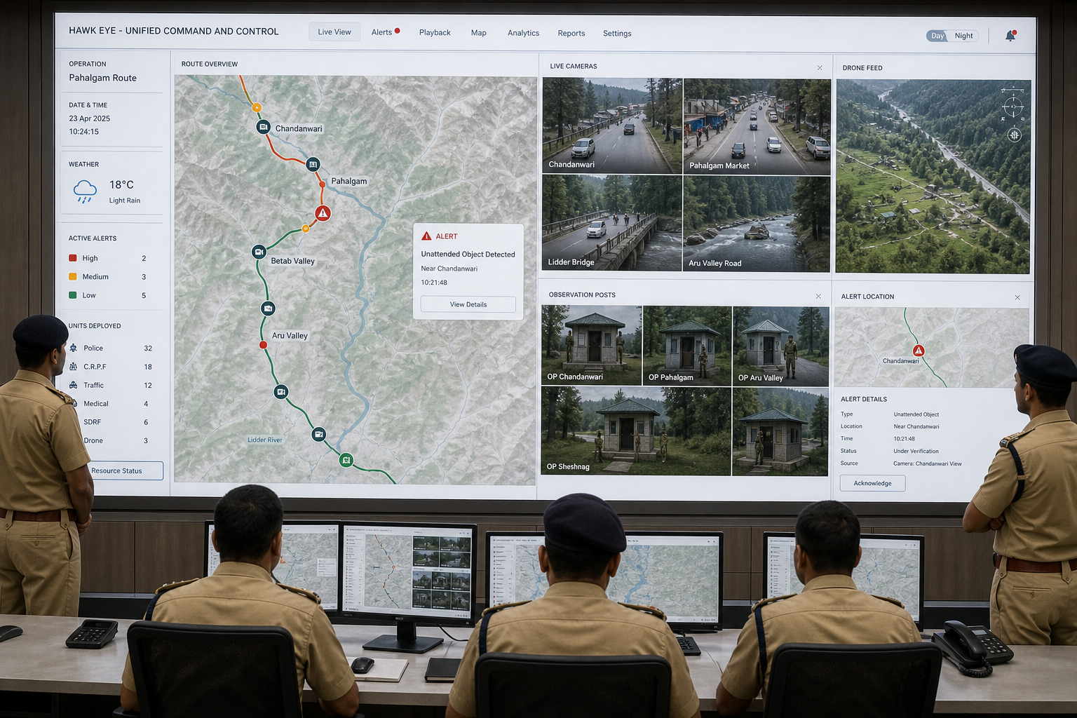
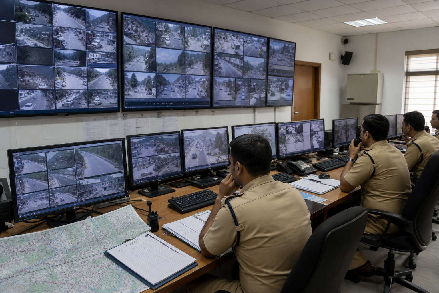
FRAGMENTED FEEDS TO ONE OPERATING PICTURE
See the route become one operating picture.
Move the divider from disconnected CCTV walls, paper logs, and separate maps to one command view that locates feeds, posts, aerial observation, and alerts.
01CHALLENGE
02WHAT WE BUILT
Cameras with facial recognition
A network of 416 high-resolution cameras covers critical points along the route, with facial-recognition matching running against it so a flagged individual surfaces as a named alert rather than a frame someone has to notice.
Aerial observation
Five drone detachments positioned at key locations give live overhead views of camps, halts, and stretches of route that fixed cameras cannot reach.
Ground observation posts
28 elevated observation posts and 22 specialist teams hold the sensitive and vulnerable stretches, adding eyes where terrain limits what any sensor can see.
People make the decision
An alert is routed to the officers who can act on it, with the location and the reason it fired. The system does not act on a match by itself; the interception, the questioning, and the legal call remain with personnel.
03IN THE FIELD
Through the Yatra, the grid operated as one surveillance layer rather than a wall of separate feeds. Facial recognition on the camera network flagged a person of interest at Nunwan base camp and personnel on the ground intercepted them. The command surface supplied the candidate, place, and source context; trained officers assessed it and decided what followed. The field response then returned to the same operational record.
04WHY IT IS DIFFERENT
Hawk Eye is not another camera wall. We connect fixed CCTV, drones, observation posts, route geography, alerts, and ground teams into a control-room-to-field loop. Every surfaced event remains linked to the originating feed and location, so an alert can be checked instead of blindly trusted. The stack supports sovereign deployment and keeps human authority at the decision point while preserving the trail needed for review.
05IMPACT
The 416-camera network, 5 drone detachments, 28 observation posts, and 22 specialist teams became parts of one route-security picture. Command could narrow attention and send context to the people nearest the event. Project Hawk Eye shows why integration matters: sensors create volume, but an operational system turns that volume into coordinated action. The same ARGUS-powered Hawk-Eye detection layer was also used for Kanwad Yatra monitoring in Bareilly, where Dainik Jagran reported that Hawk Eye AI software in the Police Lines zonal control room raised alarms on crowd surges, traffic stoppages, visible weapons, and fights across the routes of nine districts.
06COVERAGE
Supporting coverage of the operation.
- The New Indian ExpressPolice launches “Project Hawk Eye” to secure Amarnath yatra route in Kashmir ↗
Anantnag Police announcement of the grid and its components, 25 June 2026.
- Zee NewsAnantnag Police deploys drones, FRS CCTVs, and snipers under Project Hawk Eye ↗
Reporting on the deployed components and their purpose.
- The New Indian ExpressPolice detain alleged OGW through facial recognition system at Amarnath Yatra Nunwan base camp ↗
Reporting on the facial-recognition alert at Nunwan base camp and the officer response that followed.
- Dainik Jagranकांवड़ यात्रा में 'Hawk Eye' का सख्त पहरा! भीड़ बढ़ते ही बजेगा अलार्म, हथियार लहराया तो तुरंत पकड़ेगी एआइ पुलिस ↗
Hawk Eye AI software in the Bareilly zonal control room alarming on crowd build-up, traffic stoppage, weapons, and fights during the Kanwar Yatra, 1 August 2026.
07CONNECTED SYSTEMS
08DEPLOYMENT BRIEFING
Talk to our team about running this system in your district, unit, or command.
Request a Briefing